The mystery of the 500-year-old Piri Reis map continues to ...
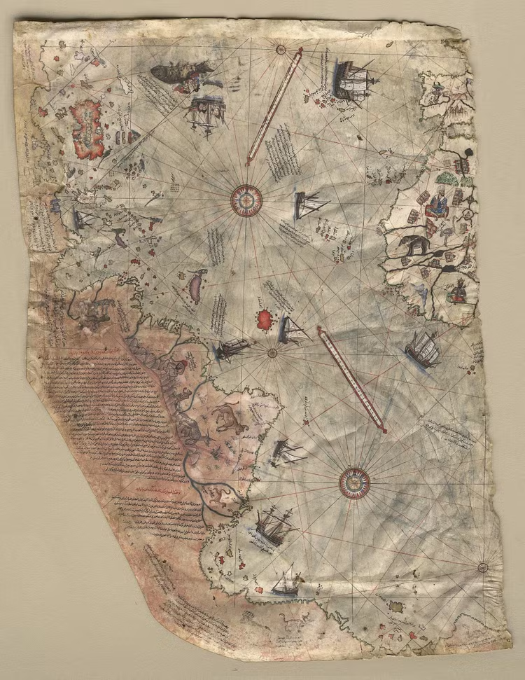
This article summarizes the long-running controversy around the Piri Reis map and why some readers think it depicts Antarctica before modern exploration. It notes that some 20th-century authors linked the map to a pre-ice-age Antarctic coastline, but says serious historical cartography does not support that interpretation and instead favors a distorted southern landmass plus Terra Australis ideas.
More in Ancient
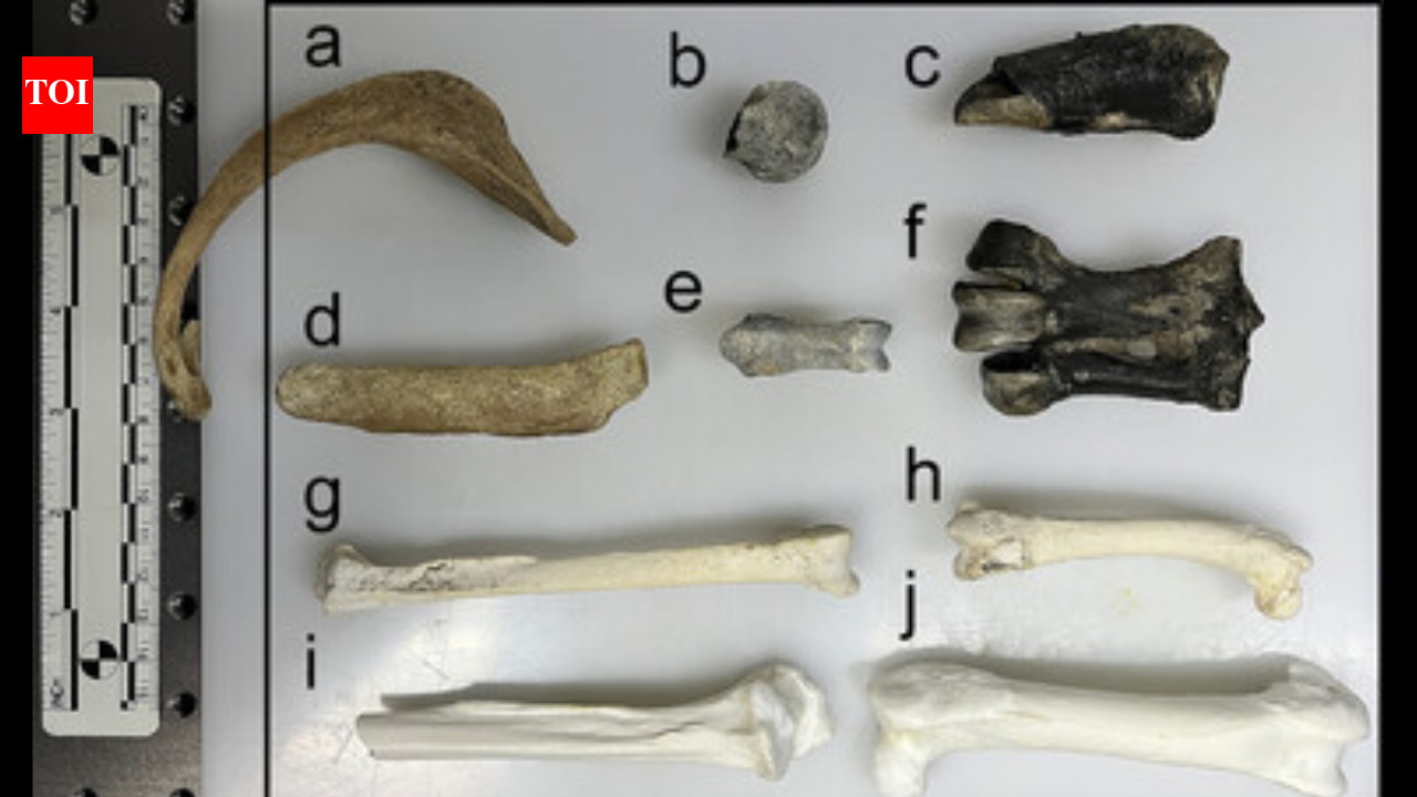
55 million-year-old penguin fossils reveal hidden chemical clues about Antarctica before the continent became frozen
This article looks at 55-million-year-old penguin fossils from Seymour Island and the chemical clues they preserve about Antarctica before it froze. It uses the fossils as a window into Antarctic weathering and climate change during the Eocene, helping reconstruct the continent’s transition from a warmer world to the frozen landscape seen today.
Early world maps
This entry summarizes the Piri Reis map and the long-running controversy over whether it depicts Antarctica or simply extends South America southward. It also notes the mainstream explanation that the southern coastline may have been bent to fit the parchment rather than representing pre-ice-age Antarctica.
Mountain Formation Explains the Antarctic Ice Sheet Mystery
This piece focuses on a geological explanation for how Antarctica’s ice sheet formed, arguing that mountain uplift and tectonic processes helped trigger East Antarctica’s long-term glaciation. It is useful background for readers interested in what Antarctica was like before and during the transition into its frozen state.